Buffelgrass is an invasive plant that impacts native desert plant and animal communities in the Southwestern US. It creates substantial fire risk in ecosystems that are not adapted to large-scale intense burning.
Buffelgrass Current Day Forecast

Buffelgrass 1-2 Week Forecast

WHAT ARE PHENO FORECASTS?
Pheno Forecast maps predict key life cycle stages in invasive and pest species, to improve management efficacy. For insect pest species, Pheno Forecasts are based on published growing degree day (GDD) thresholds for key points in species life cycles. These key points typically represent life cycle stages when management actions are most effective. These maps are updated daily and available 6 days in the future.
Help us improve these maps! Our Pheno Forecast map products are still in development, and we seek input on their performance in your area. Give your feedback at the bottom of the page.
SIGN UP FOR BUFFLEGRASS GREEN UP NOTIFICATIONS!
Sign up for weekly emails predicting where buffelgrass has reached 50% greenness and where buffelgrass is expected to reach greenness within 1-2 weeks.
SPECIES BACKGROUND
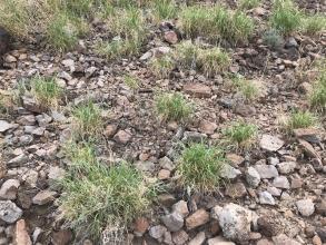
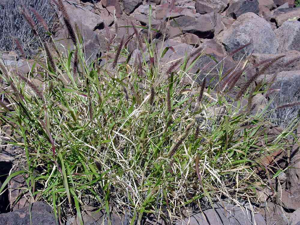
Buffelgrass (Pennisetum ciliare) is originally from Africa, Asia, and the Middle East and was brought to the United States for erosion control and grazing. In recent years, it has been expanding throughout the Southwestern US where it can threaten native species and transform desert ecosytems by promoting fire where plants and animals are not adapted to large, intense burns. Treatment by manual removal or herbicide spraying can help restore native communities.
GREENNESS FORECAST
We forecast buffelgrass greenness based on precipitation totals for the previous 24 days. Approximately 50% greenness is reached when at least one inch of rain falls in a 24 day period (Wallace et al. 2016). Note that these maps predict the onset of this stage, and do not represent continued greenness duration. The ideal time to target plants for treatment is after a substantive period with no rainfall. Treatments are ideally applied when approximately half of the plant has greened up, and prior to reproduction. For specific information on preferred treatment options in your region, we recommend contacting your local extension agent. Additional treatment resources are available at Tucson Clean and Beautiful and the Arizona-Sonora Desert Museum.
EXPLORE THIS FORECAST
Learn more about this forecast using our visualization tool!
|
Greenness status |
Accumulated precipitation over 24 day rolling window |
Relevant location |
Source |
|---|---|---|---|
|
Greenness unlikely |
< 1 inch |
|
|
| 50% greenness may occur in 1-2 weeks | 1-1.7 inches |
Tucson Mountains, |
Wallace et al., 2016 |
| 50% greenness will likely occur in 1-2 weeks | > 1.7 inches |
Catalina Mountains, |
Wallace et al., 2016 |
This product has been created in part with a grant from the Technology and Research Initiative Fund through the Arizona Institutes of Resilience.
More information on map development and re-use policy. Raster layers for buffelgrass maps can be downloaded by using the USA-NPN Geoserver Request Builder.
